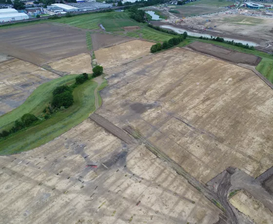
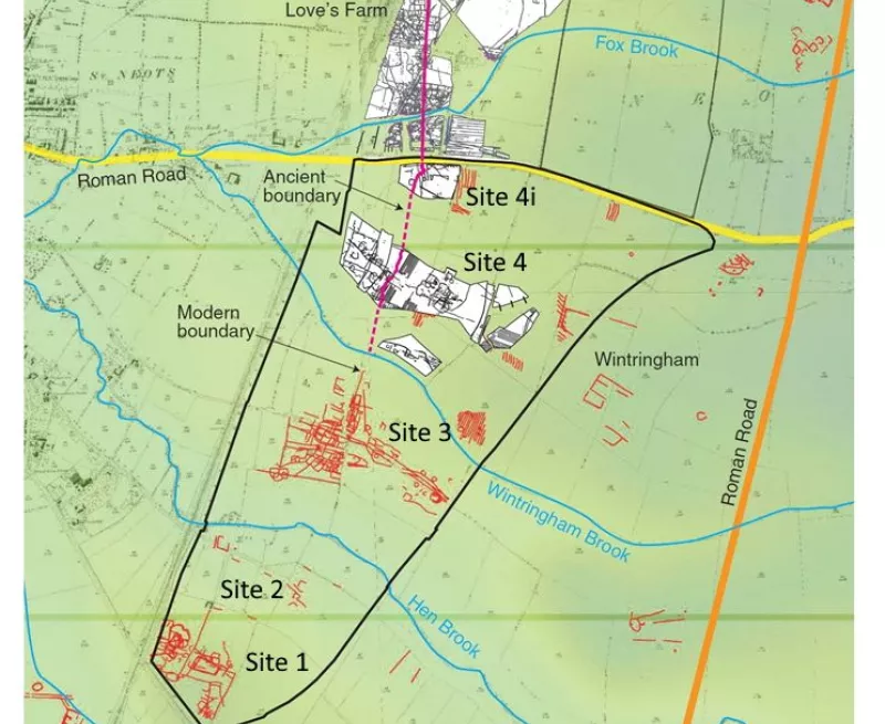
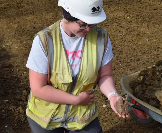
Wintringham lies in a rich archaeological landscape, where people have lived and farmed for thousands of years. Our archaeologists have been investigating this area for over a decade, including Love’s Farm to the north, helping to build a detailed picture of how people first lived in the claylands of western Cambridgeshire.
OA returned to evaluate the archaeological potential of the proposed development area at Wintringham. The work undertaken included a review of past archaeological work within the area, an air photo survey, geophysical survey, field walking and the excavation of 194 trial trenches to see where there was archaeology and what conditions any remains might be in. This confirmed that the pattern of Iron Age and Roman settlement seen at Love's Farm continued south of Cambridge Road, and four main areas were identified for full excavation.
Our site at Wintringham featured in Episode 3 of the 2023 series of the BBC's Digging for Britain. Hosted by Prof. Alice Roberts, you can catch up on the episode on the iPlayer now.
Our finds...
-
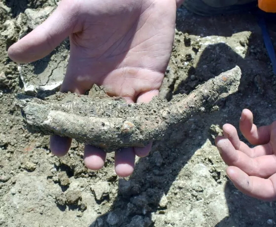
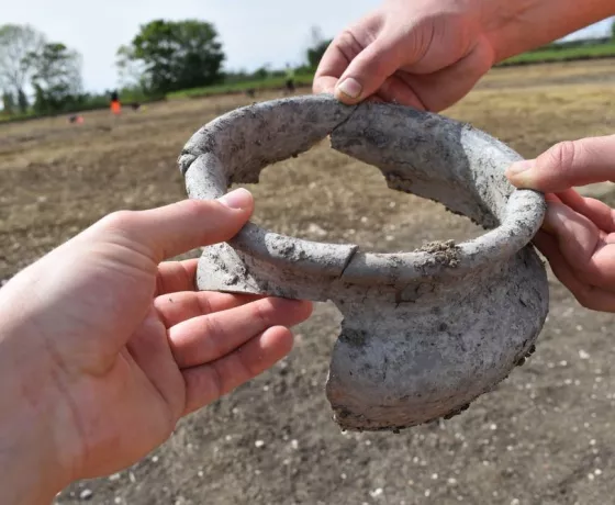 The rim of a Roman storage pot. The fragments were found together in the ground.
 -
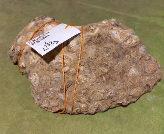
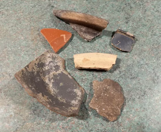 A selection of Roman pottery found in the same archaeological feature.
 -
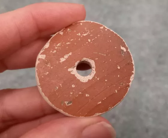
 A quern stone used for milling cereal grain into flour. This one is made of Hertfordshire puddingstone.
 -
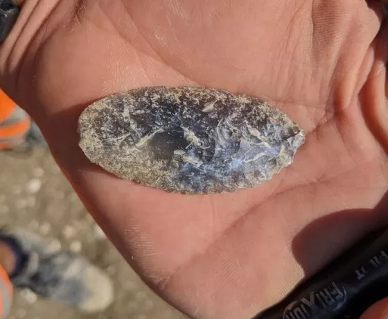 An early Bronze Age flint knife, found in a much later Iron Age roundhouse ditch.
 -
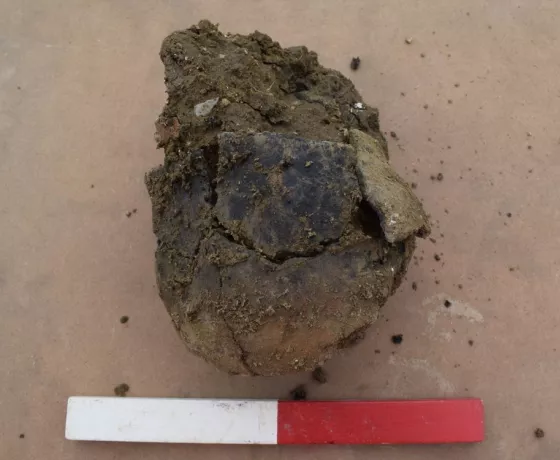
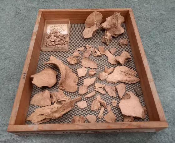 Fragments of a cow skull, found together - along with one sherd (fragment) of pottery which should help date it.
 -
 A whorl used as a weight on a drop spindle, for spinning fibres such as wool into yarn.
 -
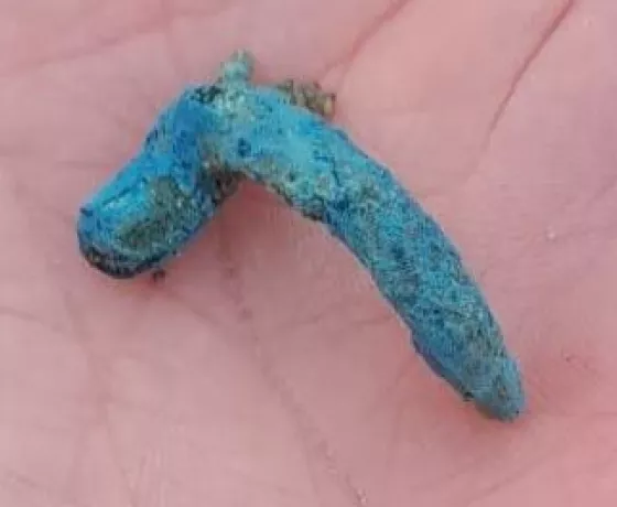 A tiny Early Roman brooch. The blue patina suggests it is made of copper alloy which has oxidised after nearly 2,000 years in the ground.
 -
 An Anglo-Saxon pottery vessel, found in a hole originally dug for a timber post.
 -
 An early Anglo-Saxon bone comb when it was first lifted from the ground.
 -
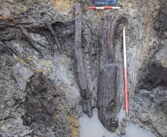 A middle Iron Age timber ‘log ladder’ found preserved at the bottom of a waterhole or well.
 -
 A middle Iron Age loom weight, which would have applied tension to threads when weaving cloth.
Meet the team
In his current role as Senior Project Manager, Pat co-ordinates archaeological fieldwork and post-excavation programmes for large residential, commercial and infrastructure projects across the East of England. Pat has worked in commercial archaeology since 2008 and holds a BA in Archaeology and Ancient History from Reading University. Pat has a particular interest in prehistoric landscapes and the transition from the Late Iron Age to Early Roman period. Pat is an Associate of the Chartered Institute for Archaeologists (ACIfA).
As a Project Officer, Stuart runs larger evaluations and excavations from project setup, through fieldwork and into post-excavation write-up. He also undertakes GPS surveys (including earthworks) and graphics work, including photogrammetric production of 3D models. Stuart has worked as a professional archaeologist since 2009, and joined Oxford Archaeology in 2011. He has an MA in Landscape Archaeology from the University of Bristol, and also a BA in Mathematics and Computer Science from Oxford University. Stuart is a Practitioner with the Chartered Institute for Archaeologists (PCIfA).
Clemency develops and supports all educational and community work across Oxford Archaeology involving volunteers, educational institutions and the general public. She is a member of the company-wide Communications Team and promotes wellbeing at work initiatives as a Mental Health First Aider. She has worked in archaeological outreach since 2010 and has a MSc in Landscape Archaeology from the University of Oxford.
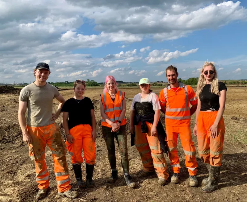
Lizzie is part of the on-site team carrying out the excavations at Wintringham and so is perfectly placed to bring you all the latest information about the dig through our blog and finds gallery. Lizzie decided to follow her passion for archaeology in 2021 and joined the Cambridge team through our Graduate Trainee Scheme. She has a background in the research and display of public history, graduating with a BA in History from Goldsmiths University, and an MA in Museum Studies from the University of Leicester.